Engineering and geological survey of the area (reconnaissance) is carried out taking into account all available data on the study of the area. This is a very important and crucial part of the survey, which is carried out by the most qualified geological engineers and builders-designers, as during reconnaissance they carry out: quality assessment and clarification of the collected materials in the area of the planned construction; a comparative analysis of the options for locating construction objects depending on the geotechnical, hydrogeological and geomorphological conditions and processes in the construction area; preliminary forecast of changes in the geological environment under the influence of the construction and operation of enterprises, buildings and structures.
In the course of the survey, the relief of the studied area is determined to be of a specific genetic class and genetic type, and the outlines of the distribution of groups of relief forms or individual relief forms that are homogeneous in their genesis are detected and contoured. In some cases, it becomes necessary and possible to isolate elements of the relief form and contouring the areas of development of microforms associated with the manifestation of physical-geological processes.
During reconnaissance, route observations are carried out to establish the main lithological soil types, to identify areas with unfavorable physical and geological processes and phenomena, to study the lithological composition, structural and textural features, thickness of individual soil layers, as well as the characteristics of their state and physical and mechanical properties. It is usually sufficient to attribute the soil to a group, subgroup, type and type in accordance with the general classification scheme of soils.
If necessary, perform in small quantities the excavation of individual mine workings, geophysical work, testing of soil and groundwater. On the basis of reconnaissance studies, a conclusion is drawn up, on the basis of which certain design decisions can be made, however, reconnaissance work is of fundamental importance for the planning of subsequent engineering and geological work.
Engineering-geological survey is the main method of areal study of engineering-geological conditions of the territory to be built, at an early design stage. Based on its results, the following design tasks are solved:
- territory zoning by type of use;
- the layout of buildings and structures of the designed complex;
- laying the line of linear structures;
- study of individual design sites;
- the choice of types and preliminary calculations of the foundations of the foundations of the designed structures.
Recommendations on the results of engineering-geological surveys should give a preliminary predictive assessment of the extent and nature of changes in the state and properties of individual elements of the geological environment under the influence of the designed structures in the process of their construction and operation throughout the estimated period.
The composition of large-scale engineering and geological survey includes:
- collection, study and synthesis of materials on the geological structure and engineering-geological conditions of the area (site) of the proposed construction;
- interpretation of aerial photographs and conducting airborne visual observations;
- drawing up preliminary maps of engineering-geological conditions and engineering-geological zoning based on the data obtained during the collection of materials and the interpretation of aerial photographs;
- description of the area along the routes;
- geophysical work;
- Driving of mine workings, including boreholes; - experienced field work;
- laboratory works;
- stationary observations;
- survey of the state of buildings and structures in the survey area;
- office processing of materials, preparation of final maps and report.
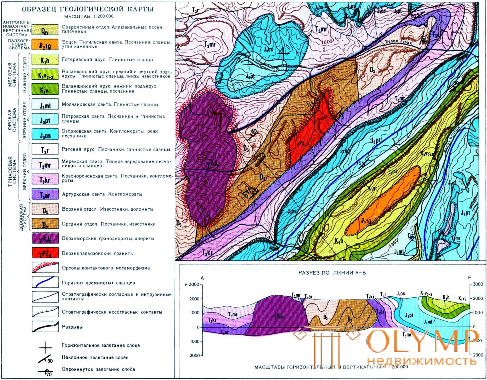
The main result of a large-scale survey is an engineering-geological map (engineering-geological conditions map) of the survey area of the corresponding scale, as well as a survey report.
The geotechnical maps show the lithological composition of rocks, the conditions of their occurrence, the genesis and age, lines and zones of tectonic disturbances, the conditions of occurrence of groundwater, especially the first aquifer, their regime, water abundance, the distribution of physical and geological processes, and the physical and technical properties of mountain breeds The amount of information placed on a map increases with increasing map scale.
Separate map load elements are shown by washing, shading, contouring with lines, conventional signs and icons of international legends. The characteristics of soil and groundwater and a number of other indicators are taken out of the map and placed on the side in the form of tables, graphs, sections, and even axonometric projections.
Engineering geological maps are compiled using various methods:
1) maps of small scales are made by cameral way on the basis of other maps, for example, maps of bedrock, Quaternary deposits, tectonics, geomorphological map, hydrogeological map;
2) in the preparation of large-scale maps for specific objects, in addition to these maps, they use materials from field work, namely the results of field surveys, engineering geological surveys, borehole columns, materials of field and laboratory soil tests, etc. Many of these data do not complement the map itself, how much information about soils expands.
The geotechnical map should be visual and easy to read, not only by geologists, but also by designers, builders and surveyors.
Depending on the scale of the map, the number of excavation points per 1 km2 and the distance between these points depending on the complexity category of engineering and geological conditions are established. The depth of drilling depends on the structures and thickness of the quaternary deposits planned for construction, which it is desirable to fully cover at least part of the wells.

Что бы оставить комментарий войдите
Комментарии (0)