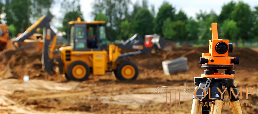
Engineering and geodetic surveys are carried out to obtain the materials necessary for the design and construction of buildings and engineering structures.
Engineering surveys include:
- collection and analysis of materials of previously performed geodetic works: triangulations, trilateration, polygonometry, leveling and surveying networks, topographic surveys;
- the study of the topographical conditions of the area of the future construction;
- creation of new planned and high-altitude geodetic networks;
- the creation of a shooting justification;
- topographic surveys;
- tracing work;
- centering and surveying works for other types of surveys: geotechnical, hydrogeological, hydrological, etc., special geodesic observations;
- cartographic works.
Engineering and geodetic surveys are conducted in compliance with the requirements and recommendations of regulatory documents of the General Directorate of Geodesy and Cartography. The basis for carrying out engineering and geodetic surveys are the technical task of the customer and the permission obtained by the customer for their conduct. The terms of reference provide information on the proposed construction, the boundaries of the survey sites, the required scale of the survey and the timing of the materials.
For each construction project on the basis of technical specifications and topographic and geodesic exploration of the territory, they constitute a program of engineering and geodesic surveys, which should provide a rationale for the proposed types of geodetic and topographic works, a draft of basic geodetic works with an accuracy calculation, a measurement technique, tools and priority of work are recommended . Schemes and cartograms are attached to the program, making it possible to establish the location of the object.
In the presence of adverse physical and geological processes and phenomena in the area of planned construction, the program of work should include the necessary instrumental observations and special types of topographic surveys.
With small volumes of surveys, as well as with surveys for the construction of individual buildings and structures, it is allowed to carry out surveys according to the work order drawn up by the design organization.
Что бы оставить комментарий войдите
Комментарии (3)
На самом деле геодезические изыскания включают гораздо больший объем работ, вот здесь посмотрите https://geoexpert-msk.ru/uslugi/izyskaniya/geodezicheskie/
Удалить