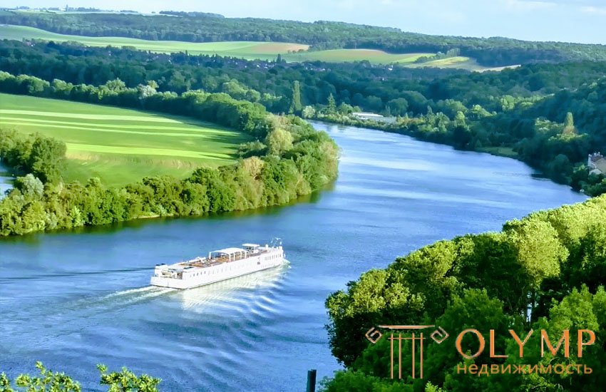
The important characteristics of the river are its length, fall, slope, flow rates and costs.
The length of the river is most often determined by the map, by means of a small (1-2 mm) meter solution. To do this, the entire length of the river is divided into small sections (between the mouths of inflowing tributaries) and measured in the forward and reverse directions, avoiding discrepancies between the results of more than 2%. If the river has many small convolutions that are not available for measurements on the map, then the average length (from forward and backward strokes) must be multiplied by the tortuosity factor, which is determined by comparing the nature of the river on the map. For approximate measurements of the lengths of rivers, you can use a curvimeter.
The longitudinal slope continuously changes within the same river: in the upper course it is usually larger, and decreases as it moves towards the mouth. When studying the longitudinal profile of the river, it is possible to distinguish in it certain sections characterized by relatively great depths and a calm flow — these are stretches and areas with shallow depths and faster flow — rolls. The slopes of the water courses vary in time as well as during the passage of the floods. The line connecting the points of the channel with the greatest depths is called the dynamic axis of the stream or fairway; on navigable rivers, a fairway is a strip of water surface (marked with special signs, buoys) within which certain depths are guaranteed.
River slopes are expressed in decimal fractions or ppm. Slopes can be found on the map, according to the marks of the water lines on it, or, more precisely, directly on the ground by leveling the water lines. Leveling accuracy depends on the river slope: the greater the slope, the lower the level can be. Usually for this purpose leveling IV or III class is applied, sometimes class II.
Along with the longitudinal slope there may be a transverse slope of the river, i.e. such a case, when the water level at one bank is higher than that of another. There are several reasons for such a skewing of the water surface: the Earth's rotation (Coriolis acceleration), the curvature of the channel (centrifugal force). The transverse slope of the river can also be caused by wind blowing in a direction perpendicular to the river. The magnitude of the skew in this case can reach several decimeters; it depends on the width of the river and the strength of the wind.
The mirror of water in the cross section of the river may have a convex and concave surface due to the rapid rise of water in the river during periods of high water and high water and a rapid decline after passing high levels.
The following characteristics of the river relate to its living section. A living or water section is an area normally located to the direction of the flow of a river and filled with flowing water (for linear structures, water level in a river is often used to transfer the mark from one bank to another).
Что бы оставить комментарий войдите
Комментарии (0)