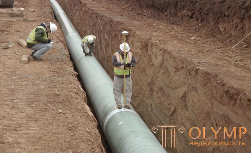
In built-up areas there is usually a dense network of underground utilities: pipelines, cable networks. These structures should be shown on large-scale plans.
The most simple survey of pipelines and cables to carry out in the process of their laying, in not filled up trenches. Such a survey is called executive (current). The previously laid underground communications are determined with large-scale aerial photography of marked wells and network outlets, unmasking signs of buried trenches and previously drawn up executive plans, drawings and diagrams. If the executive documentation is missing, then quite often resort to shilling - the device of transverse trenches. However, this expensive method of searching and surveying underground utilities is not guaranteed against errors, especially when there are no turnings of underground pipelines and cables. The most complete and accurate is the search for underground utilities by pipe detectors. These devices work well in conditions of not very dense network of underground communications. If the network of communications is numerous, then due to electrical interference, the task of separating and accurately determining the position of each line becomes difficult.
The survey is conducted on sites or individual types of communications (sewage, water supply, heating, gas pipeline, oil pipeline, low-voltage networks and power cables).
When surveying underground utilities, they determine the coordinates of their turning angles, the centers of wells, intersections with other utilities, measure pipe diameters and distances between wells, slopes, reveal the inputs of individual networks in buildings and structures, determine the marks of the floor and edges of trenches and trenches, trays and covers wells, top of pipes, etc. When shooting underground structures in the process of measuring work using special instruments and devices: probes, squares, tape measures, diameters, etc.
Surveying in terms of underground utilities and structures in built-up areas is usually carried out by linear measurements (at least three) with reference to capital buildings and structures or to points of the geodetic reference network and imaging justification. When shooting, methods of perpendiculars, alignments, etc. are also used. In undeveloped areas, surveys are made from points of the core network and survey substantiations in an analytical or graphical way.
Vertical surveys of underground utilities and structures are performed by geometric technical leveling or leveling of class IV (for gravity flow networks) with reference to the points of reference geodetic networks and survey substantiation.
According to the results of the surveys are plans for underground communications in the scale of 1: 5000 - 1: 500. The plans show the layout of existing networks of underground communications, indicate their purpose and basic characteristics. The results of the planned and high-altitude binding of exposed or discovered sections of underground networks are recorded in a special summary log.
Что бы оставить комментарий войдите
Комментарии (0)